811 - Calling is a must, but not enough
There’s a better way
A Blog by Emily Pierce, PLS, CFedS
A week ago today, National 811 Day was commemorated. It’s a national awareness campaign to highlight the need to call 811 before digging – in our yards or at a construction site. Many organizations in charge of utility assets use this day to promote the importance of calling 811 BEFORE digging. For example, The Southern Gas Company created this “No Diggity” video to help promote awareness.
Since I was vacationing in a few of our national parks on August 11, I didn’t get a chance to add my voice on that day. But the “Call 811” message is relevant every day for everyone who is planning to dig. It doesn’t matter where you are in the United States, you can go to call811.com or simply call 811 to “Know What’s Below” before you dig. The service is required to respond quickly, usually 24 hours in most states.
Calling 811 could save your life and prevent injury. In the case of gas utility strikes, that call could also protect many other people. According to the Pipeline and Hazardous Materials Safety Administration (PHMSA), ruptured gas distribution systems have killed an annual average of 10 people and injured an average of 46 more.[i] Excavation damage has almost always been the cause of ruptures that resulted in fatality, an injury requiring in-patient treatment, or damages more than $50,000.
For firms that are excavating every day, the need to “Know what’s below” is essential for safe operations.
The latest DIRT Report (Damage Information Reporting Tool) shows that damages caused by underground utility strikes are increasing for the fifth consecutive year. In 2019, the cost of this damage was estimated at $30 billion. The most common cause listed for these utility strikes was “failure to notify”, meaning no one called 811 before excavation. But other causes, such as excavation issues and locating issues are also leading causes for damage.
The truth is that we don’t really know how much damage is done by excavation errors. In many sectors, there are no legal requirements for reporting utility strikes. Although a growing number of companies are voluntarily reporting, the data provides a very incomplete picture.
The National Society of Professional Surveyors (NSPS) is working to raise the visibility of the need for accurate geospatial data for infrastructure projects that include transportation, energy, communications, water supply, and other systems. NSPS is one of the thirteen members of the Coalition of Geospatial Organizations (COGO) that seek to speak with one voice on geospatial data and policy issues. This group provides input to the Federal Geographic Data Committee that has developed a National Spatial Data Infrastructure (NSDI) Strategic Plan.
These groups were heavily involved in the Infrastructure Bill working its way through our federal legislative process. They are working to ensure that the federal investment in infrastructure improvements include geospatial data components to increase accuracy and precision in our infrastructure investments, like transportation, high-speed internet, power and gas utilities, rails, and clean water.
Trends toward the adoption of new technologies that help create accurate data to help us “Know what’s below” are strengthening. I know that surveyors are embracing new technologies to that help create underground surveys. Along with GIS, LiDAR and GPR, other tools are making the job of underground surveying much easier.
A BETTER WAY
For example, over the past year, I’ve been working with a number of utilities who are using Connected RFID to track and manage infrastructure assets. RFID is a key technology that enables direct connection between the real world and the geospatial world.
One of the most persistent and thorniest problems of any kind of geospatial data is accuracy. If the data isn’t spatially accurate, then its usefulness is massively reduced. I know I’m preaching to the choir. We surveyors spend our lives creating and correcting geospatial data and understand the importance of accuracy.
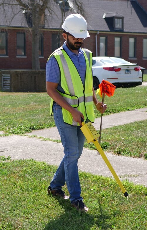
A direct connection between an infrastructure asset and its data is of tremendous value, and that’s exactly what InfraMarker RFID does. It’s pretty simple – an RFID tag is affixed to an asset (above or below ground). Each RFID tag has a unique ID that is linked to that asset’s record in the GIS system using software on a mobile device. Once linked, a field technician can scan a tag and automatically load that asset’s specific record for updating. No need for a line of sight with RFID, so this makes InfraMarker perfect for underground utilities.
More and more, gas, water and telecom utilities are adding InfraMarker RFID to enhance the accuracy of their geospatial data and make life easier for field technicians. As a surveyor, think of how much easier our jobs would be if we could actually scan buried markers and have them identify themselves . . . or use the RFID scanner to identify nearby buried utilities.
The advantage of InfraMarker is the accuracy it delivers to help utilities better manage their infrastructure assets. A value-add is that this data could also help prevent excavation strikes, helping everyone “Know what’s below”.
While we know that 811 has some inefficiencies, it is the best first line of defense for damage prevention for a property owner and the utility. Without proper locating subsurface utilities before excavation, the results can be costly.
Interested? Contact me for more information at email@berntsen.com


