News and Events
Archive
- March 2025
- February 2025
- January 2025
- December 2024
- November 2024
- September 2024
- August 2024
- July 2024
- June 2024
- May 2024
- April 2024
- March 2024
- February 2024
- January 2024
- December 2023
- November 2023
- October 2023
- September 2023
- August 2023
- July 2023
- June 2023
- May 2023
- April 2023
- March 2023
- February 2023
- January 2023
- December 2022
- October 2022
- August 2022
- July 2022
- June 2022
- May 2022
- April 2022
- March 2022
- February 2022
- January 2022
- December 2021
- November 2021
- October 2021
- September 2021
- August 2021
- July 2021
- June 2021
- May 2021
- April 2021
- March 2021
- February 2021
- January 2021
- December 2020
- November 2020
- October 2020
- September 2020
- August 2020
- July 2020
- June 2020
- May 2020
- April 2020
- March 2020
- February 2020
- January 2020
- December 2019
- November 2019
- October 2018
Denali . . . Maybe not just a hike up the mountain
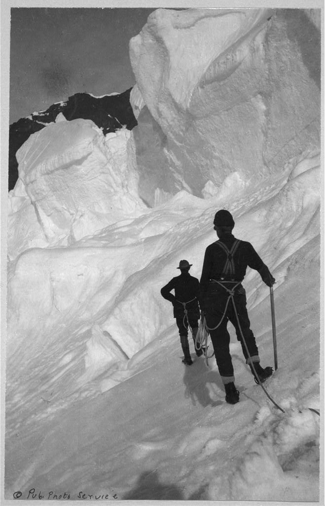
In June of 1989, a team of eight men ─ formally called The 1989 Mt. McKinley Global Positioning Expedition ─ set out from a base camp to perform one of the most unusual survey projects the world has ever seen. Their mission was to verify, by the most sophisticated satellite positioning methods, the true summit elevation and position of the highest mountain peak on the North American continent, Denali. [Mt. McKinley was renamed with its original name, Denali, in 2015]. The project involved hundreds of hours of planning, thousands of dollars in costs, the use of the most up to date global positioning equipment to track several special military communication satellites orbiting the earth . . . and one Berntsen Survey Monument, which was placed precisely at the summit.

