Tree surveys - more important than ever

This map of the area of virgin forest in 1620 was compiled by William B. Greeley, who was chief of the U.S. Forest Service from 1920 to 1928, in his 1925 book The Relation of Geography to Timber Supply.
Before the arrival of European immigrants in the United States, forests totaled about 1.05 billion acres, or about 43 percent of the country. Clearing of forest land in the East between 1850 and 1900 averaged 13 square miles every day for 50 years[1].

Forests never harvested by European settlers or their descendants, 1926. also compiled by William B. Greeley,.
Acquisitiveness and exploitation of natural resources were the spirit of those times, and conservation or the needs of the future were not considered. Nevertheless, over time, this mass harvesting of forests gave rise to America's forestry and conservation movement. One of the leading voices in this movement was John Wesley Powell, [1834 –1902] who surveyed and reported on large portions of the West for the U.S. Geophysical and Geological Survey[2] . Powell's expeditions led to his belief that the arid West was not suitable for agricultural development, except for about two percent of the lands that were near water sources. His Report on the Lands of the Arid Regions of the United States proposed irrigation systems and state boundaries based on watershed areas to avoid disagreements between states. For the remaining lands, he proposed conservation and low-density, open grazing[3]. Unfortunately, his recommendations were ignored, leading to the dust bowl environmental disaster of the 1920s and 1930s.
F.V. Hayden [1829 –1887], another surveyor, made several important investigations of the Rocky Mountains—especially the Yellowstone area—for the U.S. Geological and Geographical Service. His work and tireless support helped create the our first national park, protecting 2,221,766 acres of unmatched natural beauty from deforestation, mining and development and opening it up to the enjoyment of all Americans.

Forest Atlas created by the US Forest Service.
Trees are key to clean air and water
Today, the work of preserving and managing trees is becoming increasingly important for many reasons. More than half of the water in the contiguous United States originates on forested landscapes, and 18 percent comes from the national forests alone.
Trees also improve air quality, especially important in cities. Urban trees remove about 784,000 tons of pollutants each year. Without those trees, we would have to spend $3.8 billion each year to remove the same amount of air pollution. Urban trees give people other benefits as well, such as stormwater control and cooling during hot summer months. One study of five U.S. cities has shown that for every dollar invested in urban forest management, annual benefits range from $1.37 to $3.09 [4].
Surveying helps to manage forests

Surveying is key to managing forests. It’s always important to know where property lines lie to protect forests and to avoid cutting trees or building roads on someone else’s land. It’s not enough to know where property lines lie on a map – they need to be physically marked in the forest. All corners should be marked with a monument and a witness post. Line sections between corners can be long, where one corner is not visible from the first [5].
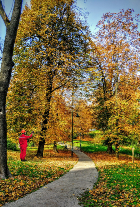
Today’s technology offers so much more than knowing accurate boundaries. Tree surveys are increasingly in demand for both forestland and urban areas. These surveys, conducted by topographical surveyors and/or arborists, identify, map and mark the location of trees on a property. These surveys are most commonly performed for new residential construction and land development projects. Often, government agencies require tree surveys as a part of their permitting processes, including the location and size of certain tree species that may be impacted by development [6].
Technology makes all the difference
Geographic Information Systems (GIS) provide layers of information about a forest, including the surveyed boundaries, tax lots, topographical information, the species of trees, size of trees and so on [7]. In urban forestry management, trees are recognized as a critical part of urban infrastructure. Unlike many other components of public works that are managed with GIS, trees increase in value over time when properly maintained.

Screenshot taken from the Esri blog post.
Similar to managing sewer pipe networks, the management of urban forests follows the same types of procedures for data gathering and maintenance. The results are stunning, as this Esri blog about tree management at the University of North Alabama describes. All 1487 trees have been mapped with data that includes their species, age, biometrics, and current condition.
The UNA Arboriculture Management Field Map is available to anyone on campus. It functions as a dynamic management database with a 2D map of buildings, roads, crosswalks, parking lots, as well as iconography representing trees, plant species, and turf. Users can click on a tree icon and pull all the data associated with it such as the tree’s biometrics, history of planting or removal, measurements, tree events (early care, stake removal, pruning, and occasional vandalism), and potential risk factors like disease or overgrowth that could cause tree branches to fall. Images for each tree are also layered on the map so stressed or diseased trees can be visually tracked. The system also includes data highlighting net positive benefits like the top tree species on campus, carbon emissions in metric tons, carbon sequestration dollar value, and total overflow surface water prevented [8].
InfraMarker RFID for accurate tree mapping
Berntsen’s InfraMarker RFID is a great way for field workers to correctly identify trees where growth is dense. A quick scan of a tree’s RFID tag will identify the specific tree and launch its record within Esri’s Field Maps or Survey123 so that field workers can perform and record maintenance on the correct tree. InfraMarker is incredibly versatile and will work with any type of asset anywhere, trees, cattle, sewer pipes – anything that can be marked with a passive RFID tag. More to come about this in future blogs - in the meantime, enjoy Earth Day!
Footnotes:
[1] https://www.thoughtco.com/us-forest-facts-on-forestland-1343034
[2] http://npshistory.com/publications/usfs/fs-650/sec1.htm
[3] https://en.wikipedia.org/wiki/John_Wesley_Powell
[4] https://www.fs.usda.gov/speeches/state-forests-and-forestry-united-states-1
[5] https://extension.psu.edu/maintaining-forest-property-lines
[6] When Do You Need to Commission a Tree Survey? | Services (survtex.com)
[7] http://forestplanner.ecotrust.org/trees/about-the-forest-planner
[8] https://www.esri.com/about/newsroom/blog/campus-urban-forest-vegetation-management/